Motorcycle GPX Route Viewer
Bring an existing GPX file into MotoVault to see its track on a map, inspect its route information and keep it in a private library for later.
Import an existing motorcycle GPX route
Start with a GPX file you already have from another route source or recording tool. Uploading it creates a route in your MotoVault account; it does not generate a route or record your position.
MotoVault validates and reads GPX tracks and route points, including files with multiple tracks or segments, then selects usable geometry for the stored map view. The route name and description can begin with metadata from the file when it is available.
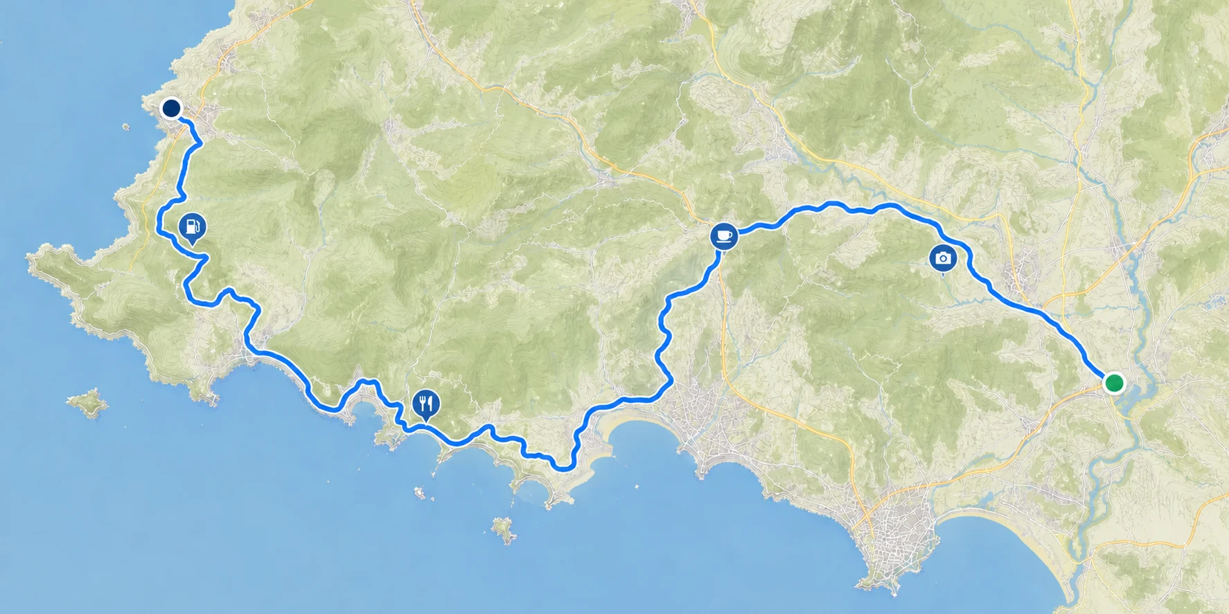
See the route track on an interactive map
Open a saved route to inspect the imported line, its start and end, and any GPX waypoints. MotoVault offers two map presentations and remembers your chosen renderer.
Map appearance
Choose from available street and topographic appearances. The vector map also supports terrain presentation and, when configured, satellite and hybrid imagery.
Track context
Toggle route-direction arrows and distance markers, focus individual route legs, and show or filter imported points of interest.
Inspect, do not navigate
The map is a view of the GPX you brought with you. It does not calculate a route, record a ride or provide turn-by-turn guidance.
Understand route distance and elevation
MotoVault calculates information from the usable geometry in the imported file so you can review the shape and scale of an existing route.
Distance and geometry
Review total distance, point and segment counts, and—when usable timestamps exist—moving time and average speed for the timed portion.
Elevation information
When the GPX contains elevation data, see an elevation profile together with gain, loss, minimum and maximum elevation.
Statistics depend on the data present in the GPX file. MotoVault leaves unavailable values blank instead of inventing them.
Keep waypoints and route details
Top-level GPX waypoints remain available as map markers. Where the file provides them, MotoVault can show waypoint names, descriptions, categories, coordinates, elevation and supported contact details.
You can edit the route's organizing metadata—such as its name, trip dates, description, difficulty, surface estimate, countries, seasons, warnings and tags—without changing the imported track geometry.
Build a private motorcycle route library
Each imported route belongs to your account and appears in your route list. Search and filters help you return to routes by their saved details instead of finding the original file again.
The library is for your own organization and later reference. Routes are not published to a community directory or shared with other MotoVault users.
Download the original GPX again
MotoVault keeps the uploaded GPX in protected storage. From the route details page, download that original file again using the route's current name.
The map itself uses a normalized GPX projection of the selected geometry so the displayed track and calculated statistics stay aligned; downloading the attachment returns the original upload.
Routes alongside your other motorcycle records
A saved route can sit beside the ownership information you already keep in MotoVault without being attached to a specific motorcycle. For the workshop and running-cost side of ownership, explore the motorcycle maintenance tracker and motorcycle fuel tracker. Motorcycle maintenance trackingMotorcycle fuel tracking
Give your existing GPX routes a place to return to
Create an account, import a GPX file and keep the route available in your private MotoVault library.